Derby's Riverside Path was one of the first local off road multi-user paths and remains one of the most popular for both commuters and recreational cyclists, following the River Derwent eastwards towards it's confluence with the River Trent at Derwentmouth, on the county boundary near to the village of Shardlow. It forms part of Route 6 of the National Cycle Network and has several important links with other paths, a few of which we will see on this ride.
The ride goes on a traffic free path to Elvaston Country Park and returns by the same route.
We start at Exeter Bridge alongside the Market Place, where most of our local routes meet.
Follow signs for Alvaston, Elvaston and Route 6.
Watch out for birds which flock at the riverside for food..
Straight on beneath the Inner Ring Road Bridge.
Pass the Smithfield pub on the right and the bus garage on the left.
We cross the River Derwent on the Telegraph Bridge.

Turning left on the other side
To another small bridge
This is Five Arches Bridge carrying the railway running North from Derby Station, crossing the Derwent which is to the left here. In the floods of 2000 the water level was within a few feet of the underside of the arches and this poor cyclist would have been submerged.
And here, from the archives, is the picture from November 2000.
The river remains to our left for most of the way, and on the right is Pride Park, now a hive of modern industrial and business activity, the land having been reclaimed and transformed from large industrial plants which included a coal gas works and a railway locomotive works.
Looking to the right we see the new Derby Velodrome, currently under construction, and due to open for business in October 2014.
We arrive now at Alvaston Park, where the path on the right leads through to Swarkestone on the Trent and Mersey Canal. Our route goes straight on following the riverbank.
The brightly coloured Sustrans milepost gives clear directions and distances.
Further on is the Alvaston BMX track, a hugely successful project administered by Cycle Derby.
Here some of the lads are having a wheelie competition.

Ahead is the Derby Ring Road (Raynesway) and the path takes us beneath it.
The tarmac ends here but the dust path has a good level surface.
A glimpse of the river between the trees.
Although the path continues to follow the river, we leave it here at the weir, turning right towards Elvaston Castle. When the water level is high and at the right time of the year, salmon can be seen leaping up this weir.
Take the right hand path here.
A gentle climb to join the crossing path which joins Elvaston (left) to Alvaston (right).
Turn left after this gate.
And follow the track ahead.
Turn left as we reach the trees.
And soon Elvaston Castle is in view.
Time really stands still here at Elvaston, where the clock always reads two minutes past two.
We enter the courtyard where years ago the horse drawn carriages would have commenced and finished their journeys. Note that cycling is not permitted in the courtyard, but it's a pretty poor surface anyway.
Ahead is a café and to the right (before the arch), a shop and some toilets.
Go through the arch on the right to see the formal garden side of the house.
This side looks over the formal garden. Note the right side of the building looks really old and contrasts with the left side, a more recent addition which is not all a good match.
Here is a video panorama of the formal garden.
This way to see the East elevation of the building (below).
This is the East elevation. looking out over the following view.
Exit the courtyard through this arch on the left of the main building and make your way to the lakeside.
Look back to see the East side of the Castle, which has only windows and no doors on this elevation.
Here is the lake.
With some interesting views through the stonework
Follow the lakeside path through the trees and cross this bridge.
Look back to see the best view of the boathouse.

And go through to the car park here.
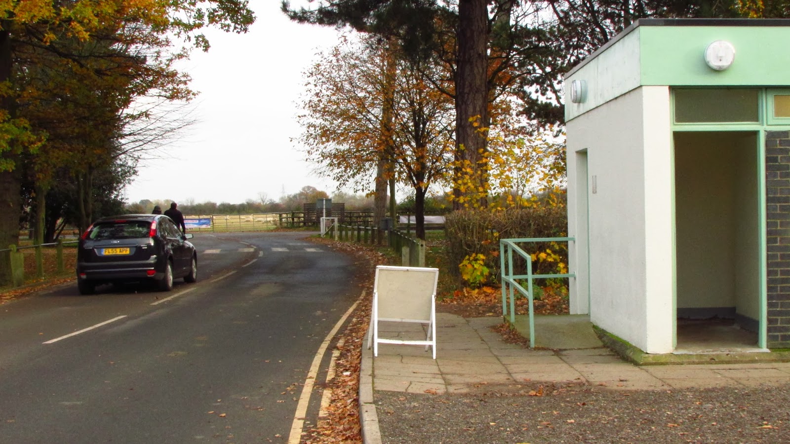
Public road ahead and toilets right.
Turn left a the zebra crossing onto the path signed "This way to the National Cycle Network".
Follow the path through the trees through several gates, ignoring side paths.
Turn right at this old building and you are now back on the outbound route and can follow that back on the Riverside Path to Derby.


Another interesting route Les, and one of our frequent walking routes.
ReplyDeleteAs a non Derbeian (?spelling) and a railwayman it was my understanding that most of Pride Park lies on the old Locomotive Works and that the redundant gas works was further south east towards Wilmorton.
ReplyDelete