The Trent and Mersey Canal runs 93 miles between Preston Brook, where it links with the River Mersey, and Derwentmouth, it's link with the River Trent. Since the Trent is navigable from here to the River Humber, it is possible to take a (narrow) boat cross country from the North Sea to the Irish Sea
This cycle ride is a mere 7.5 miles along the towpath of the canal from Swarkestone to Derwentmouth which is the confluence of the Rivers Derwent and Trent, and close to the borders of Derbyshire, Leicestershire and Nottinghamshire.
It took only 11 years from 1766 to construct the canal, which was quite an achievement considering that it was all done with picks and shovels. Canals were the motorways of the 18th century, long before railways and hard surfaced roads. Prior to this time horses and carts, together with pack horses were the only means of moving goods around the country.
The advent of the railways sounded the death knell for the canals, providing much faster transport of commercial materials, and water transport went into decline until a surge of enthusiasm for recreational boating. Canals were brought back into use, providing not only facilities for boating enthusiasts but also for anglers, cyclists, birdwatchers and lovers of our wonderful British countryside.

Below is Derwentmouth, our destination. It has no houses nor buildings of any sort. The River Trent flows in from Leicestershire on the lower right and flows on to Nottingham, via Trent Lock, on the upper right.
The River Derwent joins the Trent from Derby and is not navigable as there are several weirs between here and the City.
This is the approach to Swarkestone Lock on Route 6 of the National Cycle Network. We turn left onto the canal path after crossing the bridge ahead. The building was at one time the lock keepers cottage but is now a private house. Tonge is in Leicestershire on NCN6 where the old railway station has been converted into a private house and has a small caravan site adjacent.
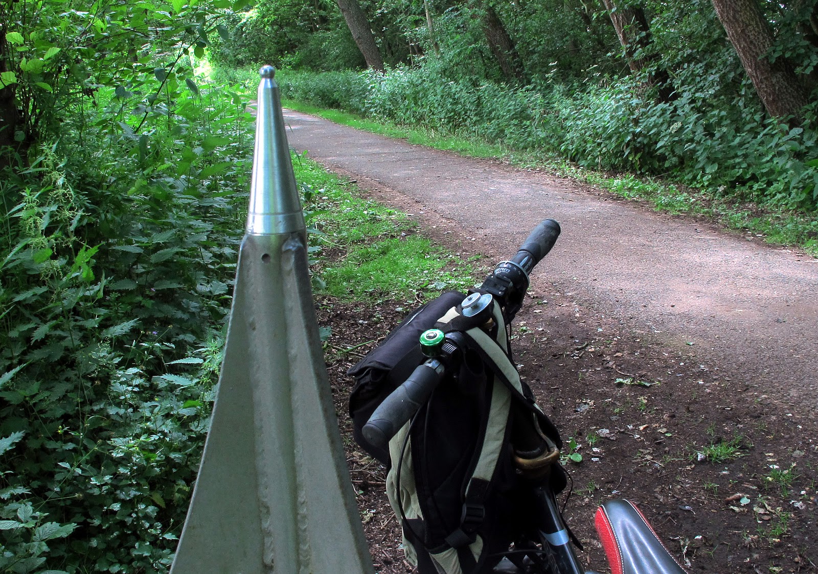
This view from the canal bridge shows the towpath which has a good surface for 1.5 miles as far as Weston-upon-Trent.
We are now on Route 6 of the National Cycle Network and ahead is Cuttle Bridge which carries the A514 Chellaston to Melbourne road.
To reduce cost and to save water flowing away, the number of locks was kept to a minimum by following the contours of the land. To our left here is a small hill on the road from Cuttle Bridge to Weston, and the canal goes round it.
This redundant railway bridge must be one of the ugliest bridges on the whole of the canal network, and it is here where we leave Route 6 which goes to the right here on it's way to cross the nearby River Trent, whilst we keep to the canal towpath. The much nicer stone bridge ahead is Sarson's Bridge which so far as we know has no connection with vinegar.
A quick glance to the right showing the Route 6 path.
After Sarson's Bridge comes a very quiet stretch of canal - a perfect spot for these swans to raise their new family.
Here is Aston Lock, unusually bereft of a lock keepers cottage like the other locks.
Looking to the right, that is southwards, the land slopes down towards the River Trent
Here at Weston-upon-Trent lock, there is a lock keepers cottage, now a private house
Although the grass is nicely mown downstream from Weston Lock, for cycling the path is not so good, being narrow and rutted. The Canal & River Trust are currently doing work to strengthen and widen the towpath by putting in steel piling.
Here the A50 trunk road passes over the canal. I'd rather be down here than up there.
Coming now to Shardlow Lock
And reminiscent of it's time as a major inland port, Shardlow has lots of boat workshops, now busy repairing and maintaining the large numbers of leisure craft. Watch out for the extra long fishing rods, which can be as dangerous to passing cyclists as they are to fish.
Shardlow has a couple of nice waterside pubs, here seen from the road bridge.
This is the New Inn.
So ............... pause for refreshment.
On towards our destination now with Bridge No.1 in sight.
This is Lock No.1 on the T&M Canal. It is significant in that it forms a barrier between the constant waters of the canal and the river levels which may vary in times of flood or drought. Boats may be held back here if it is dangerous to proceed.
There are 75 other locks between here and Preston Brook, near Runcorn, at the other end of the T&M Canal.
So here we are at Derwentmouth, a major junction of waterways, about as far away as you can get from the sea in England.
This is where the old Longhorse Bridge once stood. It was erected in the days when canal boats were horse drawn and it allowed the horses to cross over to the other side of the River Trent. With the demise of horse drawn boats it was used only by humans until it became derelict and was demolished.
This is the magnificent modern Longhorse Bridge which replaced it, standing further upstream where the river is narrower. It cost £1.4m and was opened in 2003. It is actually the third generation of the Longhorse Bridge, the first being a wooden structure and the second being made of re-enforced concrete.
Although horses may use the new bridge, it is mainly used by cyclists and walkers.
It forms a vital traffic free link between Derbyshire and Nottinghamshire.
Strangely, in view of the fact that for many years horses were common on the towpaths of our canals, they are not allowed now for health and safety reasons.
In conjunction with the installation of the new Longhorse Bridge, Derbyshire County County put in a 3m wide gravel path from Wiln Lane (The Wharf), where there is a long stay car park.
Access to this is alongside the car park, and marked X in the photograph.
This gives another option which is to park your car here and cycle back towards Swarkestone in the opposite direction.
As with all cycle rides on canal towpaths, this ride is best done in the Summertime when the towpaths are dry. Some of the paths can be muddy and rutted through the Winter and only then suitable for mountain bikes with knobbly tyres.